Our expertise in GIS & AR technologies deliver the ultimate level of accuracy and stability boosting productivity, accuracy and safety for your teams on the field.
Utility GIS & AR
XR Masters' expertise in GIS & AR technologies deliver the ultimate level of accuracy and stability boosting productivity, accuracy and safety for utility companies.
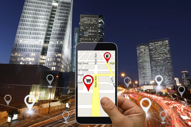
A vast network of electricity, gas, water, sewer and telecommunication lines lie underground. It is an invisible world which is vital to everyday life and national economies.
Identifying and accessing the ever growing utility infrastructure underground has become a challenging task for municipalities and utility companies over the years.
Locating utility assets swiftly and precisely has become obligatory from a financial and social viewpoint. However, classic locators do not always deliver a full, accurate and clear picture of underground utility networks.
Augmented Reality can transform traditional GIS data into 3D holographic displays that is superimposed on the exact physical location of the utility network. This way, the field technicians can accurately visualize what lies underneath.
XR Masters’ expertise in GIS & AR technologies deliver the ultimate level of accuracy and stability boosting productivity, accuracy and safety for utility companies.
Utilizing our platform, you can create your own persistent and shared AR experiences and publish your own mobile spatial browser app for your audience.
We are equipped to meet all of your organization’s AR and VR needs, tailoring our services to fit your specific goals and budget. Our team has a track record of success, having assisted prestigious organizations in the US and Europe in achieving their XR objectives.
Experience the full capabilities of our technology firsthand by requesting a free demo and viewing our sample use cases. Contact us today for more information.
We are excited to hear about your ideas and answer any questions you may have. Let's Talk!